Umpqua's Last Resort, Wilderness Cabins, RV Park & Glamping
Our outdoor resort is nestled along the North Umpqua River in the Umpqua National Forest. It's also the perfect spot for glamping near Crater Lake.


About Umpqua's Last Resort
Hello & Welcome! Umpqua's Last Resort, Wilderness Cabins, RV Park & Glamping is nestled along the North Umpqua River with-in the Umpqua National Forest.
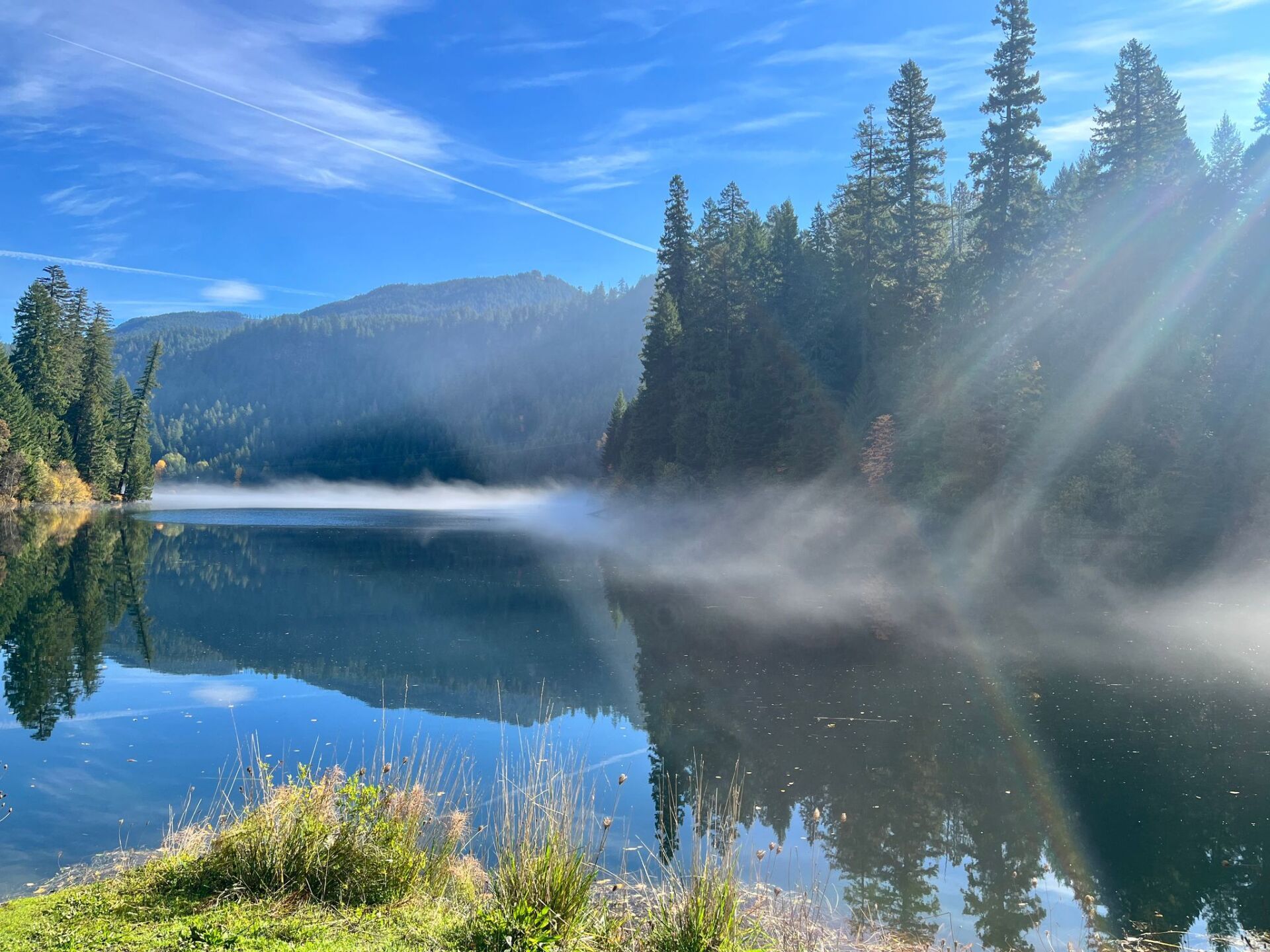
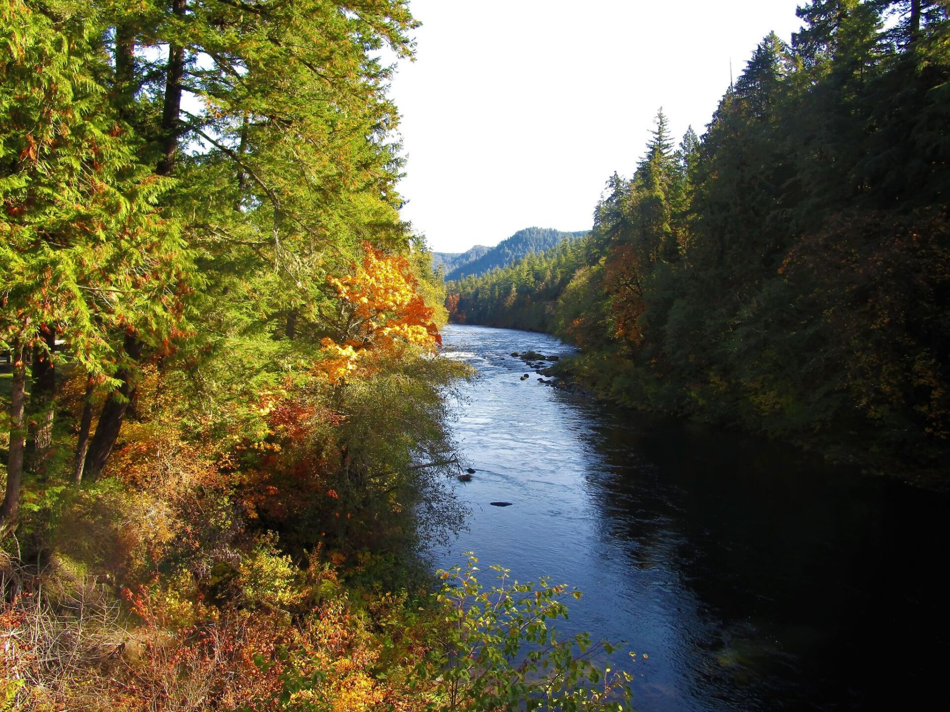
This region of the Oregon Cascade Mountains is commonly referred to as "Oregon's Emerald-Jewel Gateway" to Crater Lake National Park. Spectacular marble river views, volcanic formations, thundering waters, and towering firs are just the beginning... the North Umpqua River is World Class!
Happy Camping, "The Umpqua Team"
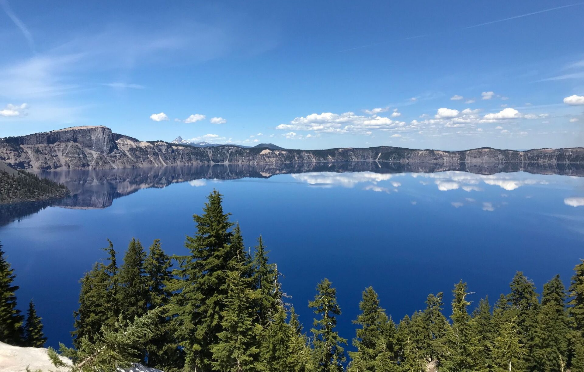
A Day Trip to Crater Lake
Crater Lake is one of the most magnificent of our area’s attractions. The North entrance is only about an hour’s drive from Umpqua’s Last Resort, making it a wonderful day-trip destination.
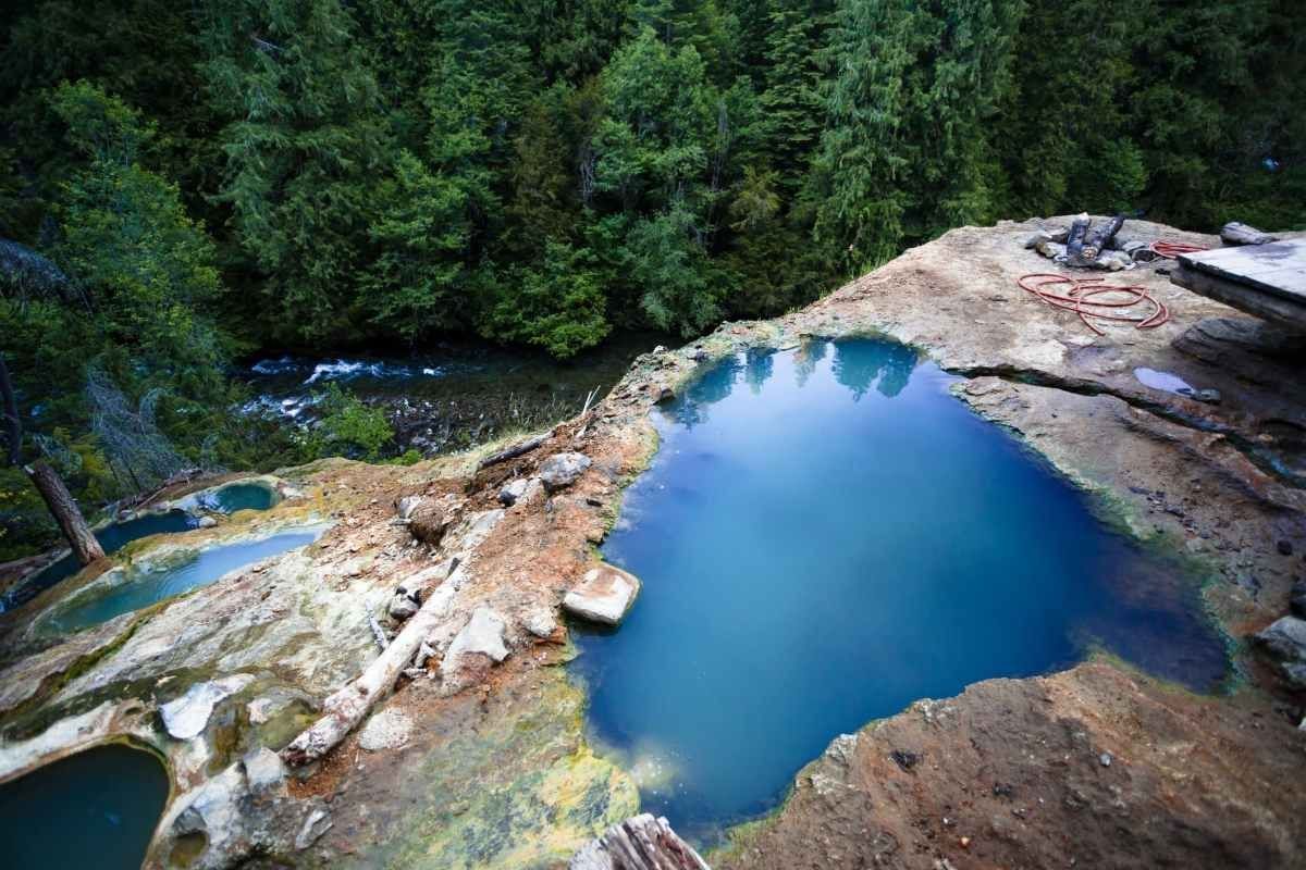
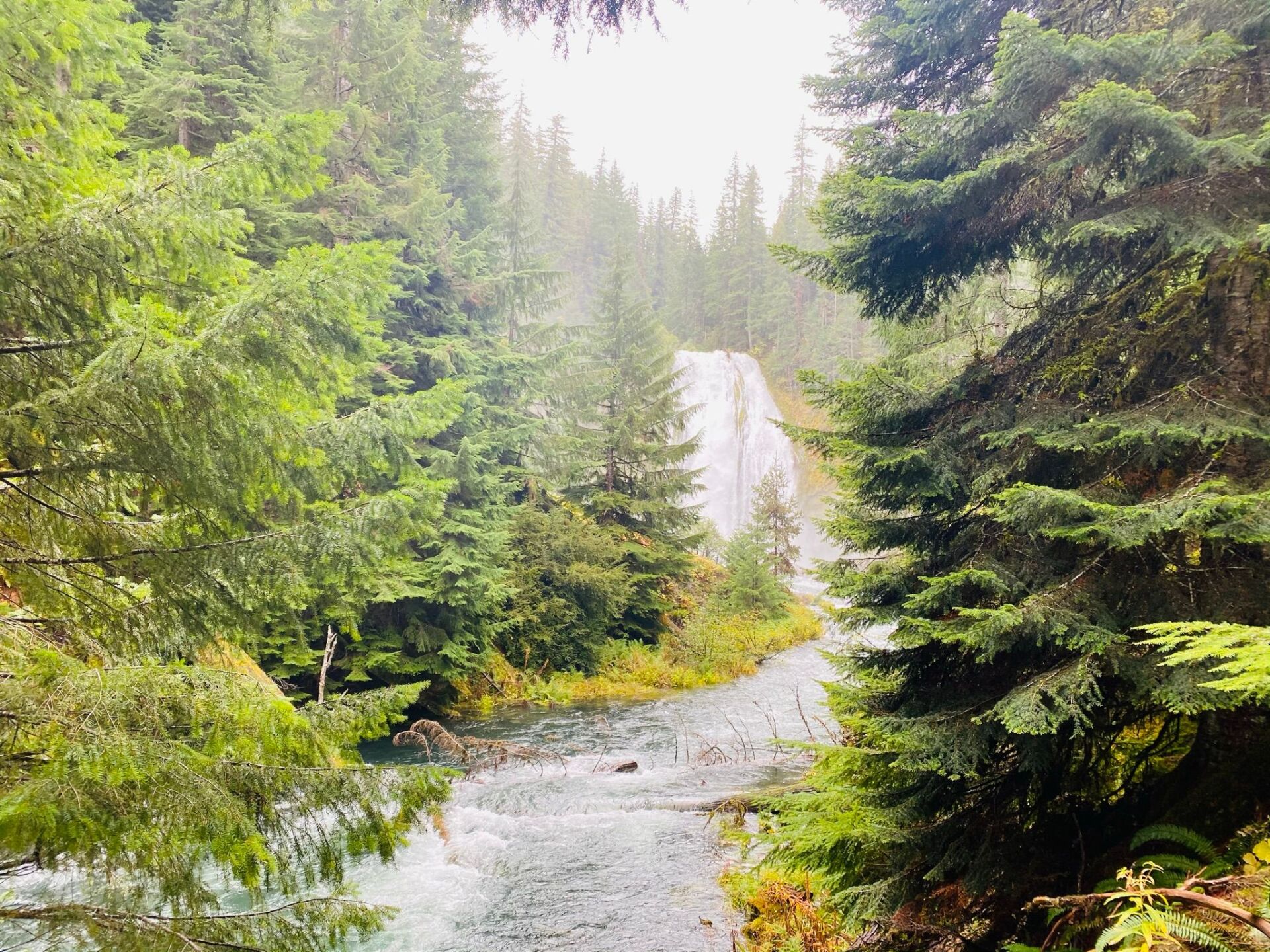
Along the way, stop and enjoy numerous waterfalls, including Watson Falls (the highest in Southern Oregon) Toketee Falls, or stop at the North Umpqua Hot Springs for a dip in a series of heated thermal pools perched on a cliff overlooking the river.
One thing is for sure, we have the best cabins near Crater Lake, so if you want an adventurous outdoor vacation, book now!
Oregon Mountain Guides
In partnership with our sister company Oregon Mountain Guides, we offer North Umpqua River & Trail Shuttles. To help you enjoy your adventures we can help with the logistics of transportation.
Our mission is to implement a high quality tour while providing a fun, exciting, and enriching atmosphere. We strive to be the leaders in mountain biking and hiking guides and be your favorite locally owned tour guide company.
SHUTTLES
WATERFALL TOUR
More Attractions around North Umpqua River
“From small trailer spaces to cabins, this place was a huge find on my road trip.”
West Gill
“Super cute place we loved it. Nice hot showers clean towels clean restrooms cleaned rooms.”
Angela Gramlich
“Super freindly, high level of care and customer service. You feel like you are home.”
Su San
Accommodations at Umpqua's Last Resort
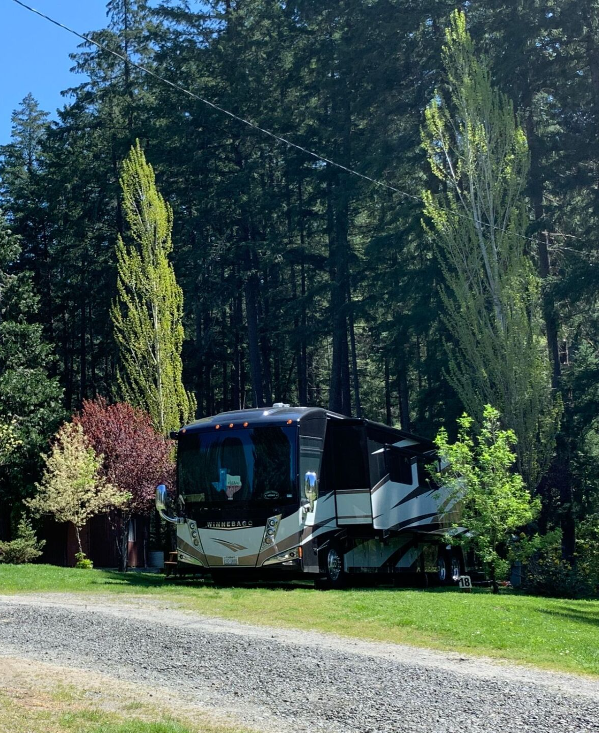
Settled in the community of Dry Creek, 27-miles east of Idleyld Park [Idle-wild Park] on the North Umpqua River, Umpqua's Last Resort hosts fifteen 50/30/20amp Full Hook-up RV Sites, Glamping Tents, Camper Cabins, Tiny Home, RV Experiences, heated shower house & restrooms, mountain Wi-Fi, access to the North Umpqua River & Dry Creek. We have daily onsite management here at Umpqua's Last Resort and do daily housekeeping, which is included with your room rate, for your convenience.
Cabins
We have King Cabins and Camper Cabins that sleep between 3 and 4 people. Come and stay at a cabin as your home base for exploring all that North Umpqua has to offer.
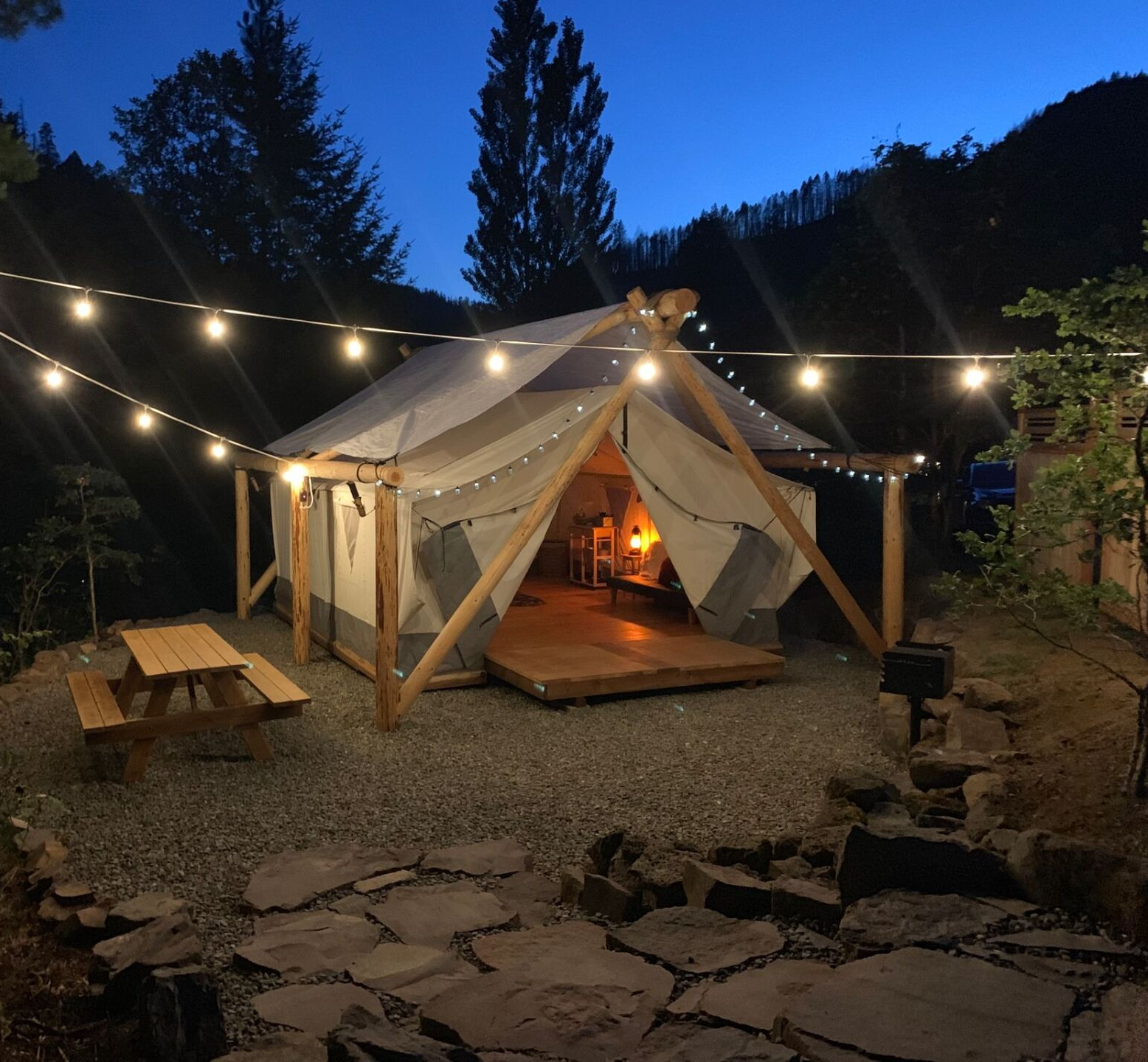
Glamping Tents
Glamping Not Camping! These luxury canvas wall tents were designed & hand built by us using locally sourced wood. Relax in the Adirondack chairs and enjoy the great outdoors with your fire pit, charcoal BBQ and picnic table.
Tiny Home XXL
Custom built by us, with 2 loft bedrooms, full kitchen, spa inspired bathroom and amazing views. This luxury retreat is a Tiny home dream.
RV Experiences
We have 3 delightful campers that are available as lodging here at our park. They are all the fun of an RV experience without the hassle of owning one!
RV Park
We have 3 types of RV site to choose from, Petite, Deluxe and Super Sites. Pick based on your preference and RV size.